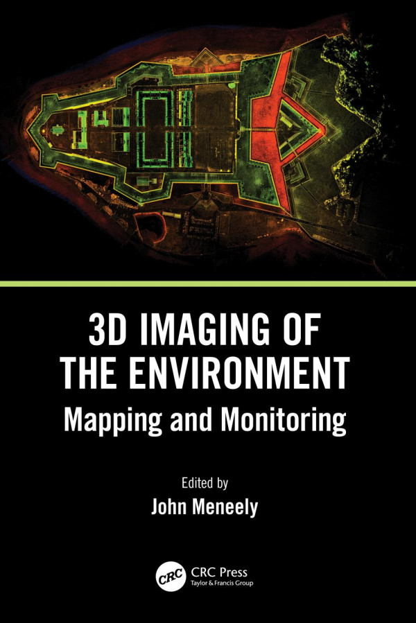
(Ebook PDF) 3D Imaging of the Environment Mapping and Monitoring 1st Edition by John Meneely 1000983544 9781000983548 full chapters
$50.00 Original price was: $50.00.$25.00Current price is: $25.00.
3D Imaging of the Environment: Mapping and Monitoring 1st Edition by John Meneely – Ebook PDF Instant Download/DeliveryISBN: 1000983544, 9781000983548
Full download 3D Imaging of the Environment: Mapping and Monitoring 1st Edition after payment.
Product details:
ISBN-10 : 1000983544
ISBN-13 : 9781000983548
Author : John Meneely
This is a comprehensive, overarching, interdisciplinary book and a valuable contribution to a unified view of visualisation, imaging, and mapping. It covers a variety of modern techniques, across an array of spatial scales, with examples of how to map, monitor, and visualise the world in which we live. The authors give detailed explanations of the techniques used to map and monitor the built and natural environment and how that data, collected from a wide range of scales and cost options, is translated into an image or visual experience. It is written in a way that successfully reaches technical, professional, and academic readers alike, particularly geographers, architects, geologists, and planners.
3D Imaging of the Environment: Mapping and Monitoring 1st Table of contents:
Chapter 1 Digital Documentation and Digital Innovation in Practice
Chapter 2 Mapping the Urban Environment with a Handheld Mobile LiDAR System—A Case Study from the UrbanARK Project
Chapter 3 Using Drones to Map and Visualise Glacial Landscapes
Chapter 4 Laser Scanning of a Complex Cave System during Multiple Campaigns
Chapter 5 Digitizing Giant Skeletons with Handheld Scanning Technology for Research, Digital Reconstruction, and 3D Printing
Chapter 6 Mapping, Monitoring, and Visualising Stone Decay in the Urban Environment
Chapter 7 Unpiloted Airborne Laser Scanning of a Mixed Forest
Chapter 8 Digital Mapping and Recording of Inishtrahull Island and Its Built Heritage in 24 Hours
Chapter 9 CHERISH: Development of a Toolkit for the 3D Documentation and Analysis of the Marine and Coastal Historic Environment
Chapter 10 3D in the Construction of a Full-Scale Replica of St. Patrick’s Cross, Downpatrick
Chapter 11 Thermography Using Unmanned Aerial Vehicles
Chapter 12 Reconstruction of the Ballintaggart Court Tomb Using 3D Scanning, 3D Printing, and Augmented Reality (AR)
Chapter 13 Terrestrial Laser Scanning for Monitoring and Modelling Coastal Dune Morphodynamics
Chapter 14 Creating a Virtual Reality Experience of Fingal’s Cave, Isle of Staffa, Scotland
People also search for 3D Imaging of the Environment: Mapping and Monitoring 1st:
3d imaging examples
how does 3d imaging work
3d image of the earth
3d imaging of teeth
3d scanning environment
Tags:
3D Imaging,the Environment,Mapping,Monitoring,John Meneely
You may also like…
Chemistry
Introduction to Spatial Mapping of Biomolecules by Imaging Mass Spectrometry Bindesh Shrestha
Engineering - Industrial Engineering & Materials Science
3D and Circuit Integration of MEMS 1st Edition Masayoshi Esashi
Relationships & Lifestyle - Psychological Self-Help
Computers - Enterprise Computing Systems
Engineering
Underground Sensing: Monitoring and Hazard Detection for Environment and Infrastructure 1st Edition
Politics & Philosophy - Social Sciences


