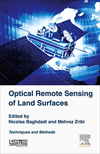
(Ebook PDF) Optical Remote Sensing of Land Surface Techniques and Methods 1st Edition by Nicolas Baghdadi 0081011849 9780081011843 full chapters
$50.00 Original price was: $50.00.$25.00Current price is: $25.00.
Optical Remote Sensing of Land Surface. Techniques and Methods 1st Edition by Nicolas Baghdadi – Ebook PDF Instant Download/DeliveryISBN: 0081011849, 9780081011843
Full dowload Optical Remote Sensing of Land Surface. Techniques and Methods 1st edition after payment.
Product details:
ISBN-10 : 0081011849
ISBN-13 : 9780081011843
Author: Nicolas Baghdadi
The considerable progress in instrumentation and in the development of methods for the processing and analysis of data places remote sensing at the center of various international programs for the surveillance and tracking of climatic and anthropogenic changes and effects on the environment. This volume presents optical imaging and LiDAR systems: their instrumentation, physics of measurement, processing methods and data analysis. The estimation of a digital terrain model based on optical images and LiDAR data is also discussed.This book, part of a set of six volumes, has been produced by scientists who are internationally renowned in their fields. It is addressed to students (engineers, Masters, PhD), engineers and scientists, specialists in Earth observation techniques and imaging systems.Through this pedagogical work, the authors contribute to breaking down the barriers that hinder the use of Earth observation data.
Optical Remote Sensing of Land Surface. Techniques and Methods 1st Table of contents:
1: Radiometry in the Optical Domain
Abstract
1.1 Introduction
1.2 Radiometric quantities
1.3 General presentation of an optical system
1.4 Inversion methods used to retrieve optical properties and the surface temperature
1.5 Key points
2: Multispectral Satellite Image Processing
Abstract
2.1 Introduction
2.2 Concepts and reminders
2.3 Viewing of multispectral optical images
2.4 The preprocessing of multispectral satellite images
2.5 Extraction of information
2.6 Conclusions and prospects
2.7 Key points
3: Digital Terrain Models from Optical Images
Abstract
3.1 Introduction: the main principles of spatial stereoscopy
3.2 Geometric modeling of the scene
3.3 Matching images
3.4 From disparity to the digital surface model
3.5 Conclusions and perspectives
3.6 Key points
4: Processing Hyperspectral Images
Abstract
4.1 Introduction
4.2 Hyperspectral images, representation and preprocessing
4.3 Spectral matching
4.4 Spectral segmentation
4.5 Spectral classification
4.6 Spectral unmixing
4.7 Detection of targets, anomalies and objects
4.8 New directions in hyperspectral image processing
4.9 Key points
5: Principle and Physics of the LiDAR Measurement
Abstract
5.1 Introduction
5.2 General aspects concerning the LiDAR instrument
5.3 General aspects of LiDAR optical systems
5.4 LiDAR equation of the profiler
5.5 Sources of uncertainty in the LiDAR measurement
5.6 Key points
6: Airborne LiDAR Data Processing
Abstract
6.1 Introduction
6.2 LiDAR Waveform analysis
6.3 3D point cloud processing
6.4 Perspectives
6.5 Key points
7: Digital Terrain Models Derived from Airborne LiDAR Data
Abstract
7.1 Introduction
7.2 Filtering of 3D point clouds
7.3 Interpolation/surface adjustment
7.4 Evaluation of digital terrain models
7.5 Key points
People also search for Optical Remote Sensing of Land Surface. Techniques and Methods 1st:
what is infrared remote sensing
optical distance sensor working principle
optical do sensor working principle
optical sensor working principle
optical remote
optical imagery remote sensing
You may also like…
Astronomy - The Solar System - Astronomical Studies & Observations
Earth Sciences - Geodesy
Optics & Laser
Biology and other natural sciences - Ecology


